5 tools for creating interactive maps
If you need to create a map, you should check this tools.
Available in:
By Sasha Vergara Muñoz. Published: 09 July 2021
Have you reached the point in your research where you don’t know how to visualize your data? Then, this post is for you! Whether your story is about the regions of a country, you need to draw a route or illustrate from physical locations. Maps are the best tool. They are excellent ways to ensure understanding of your data. Especially those where the reader can interact, hover over an icon, and where a photo, video, or text appears to accompany the story.
Maps provide you with a context and a physical space where your reader will understand your story better.
Make a map!
We recommend 5 tools to make interactive maps and better illustrate your story. But first, do you know the applications to create maps that we offer you from Datasketch? Click here to navigate through them and access the map tutorial that we share.
1. Storymap
This free tool belongs to the Knight Lab at Northwestern University in the United States. It allows telling stories on the web highlighting the locations of events.

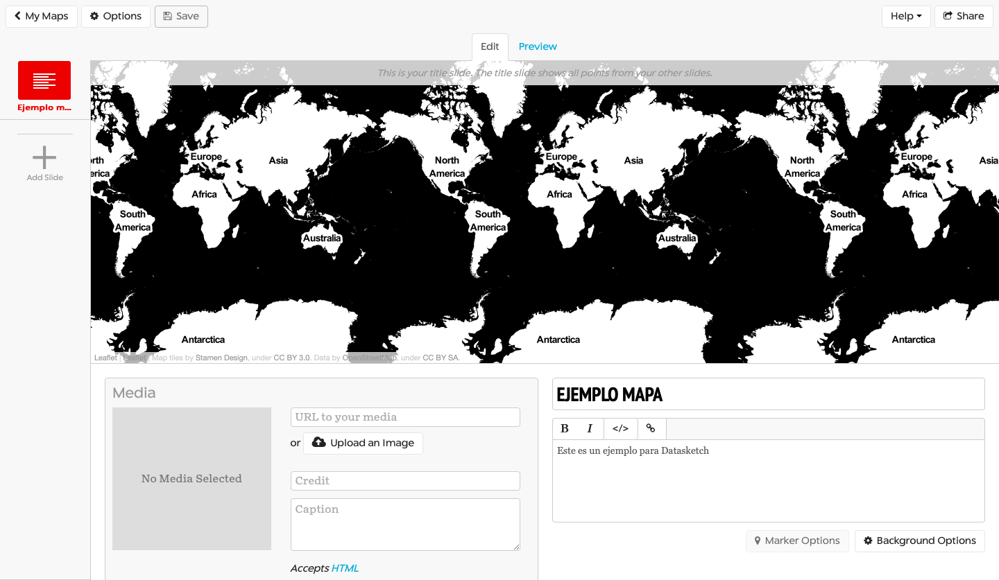
To access you can enter this link. Once you are inside, you will find a button that says ‘Make a StoryMap’ and start creating your map. You must sign up with your Gmail address to use it and click on the ‘Create’ button.
Add a title, and you can start editing. The application will project a map of the entire earth. As you create slides with specific locations, you can add photos, videos, and text to each slide.
The map draws a path between the points. It allows navigating in an orderly fashion through each of them.
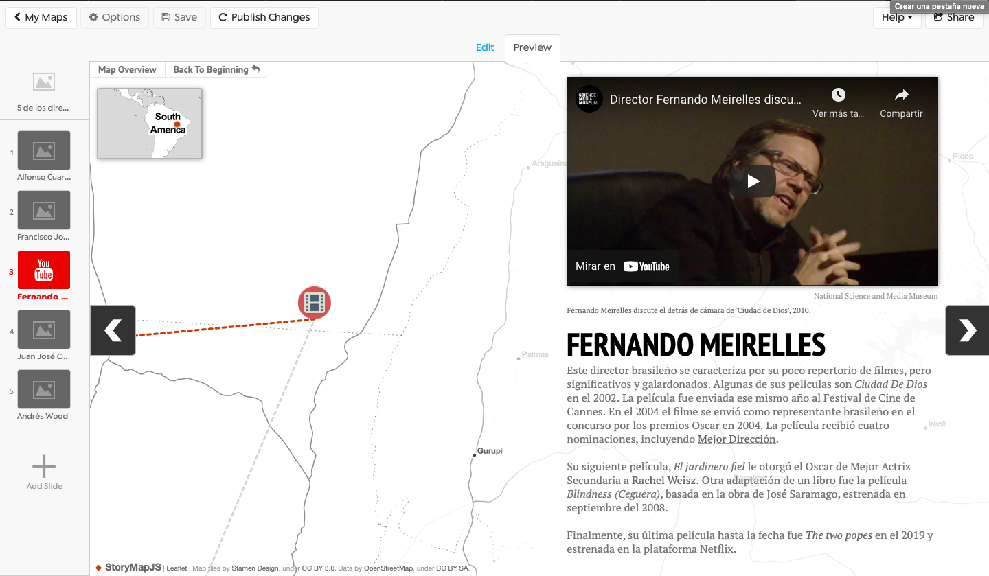
Once finished, click on ‘Publish’. The application allows you to share the map through a link or insert it in a web page with an embed code. Your maps are saved in the cloud so that you can reuse them.
This tool is used by some of the best-known media, such as The Washington Post, The Times, City Journal, Knight Lab, and Datasketch.
In addition, we find the recommendations it offers enjoyable, as they can always be taken into account:
- Be brief
- Ensure that your story’s focus is really on the locations - otherwise, you may confuse the reader.
- Write each event as part of a larger narrative,
- Include the events from the beginning until you get to the most important ones so that the story makes sense.
2. Carto
Carto is a simple web platform for creating maps in which you can upload and edit different layers. You can access it here.
It is a geospatial positioning tool that contains two functions. First, it is a vast geospatial database and a visualization tool of this data, facilitating the work and creating beautiful dynamic maps.
Carto can manage millions of data tables, so it works as a tool for managing large databases.
You must register, and they give you a one-year trial to use the tool before they start charging. After that, students and educators have lower costs, and it can even be free.
Some examples of this tool used by different media can be seen in this link.
3. Mapbox
This tool is an open-source platform created to design customized maps. You must register here. When you start, you must select one of the templates of the maps that have already been designed as a starting point to edit yours.
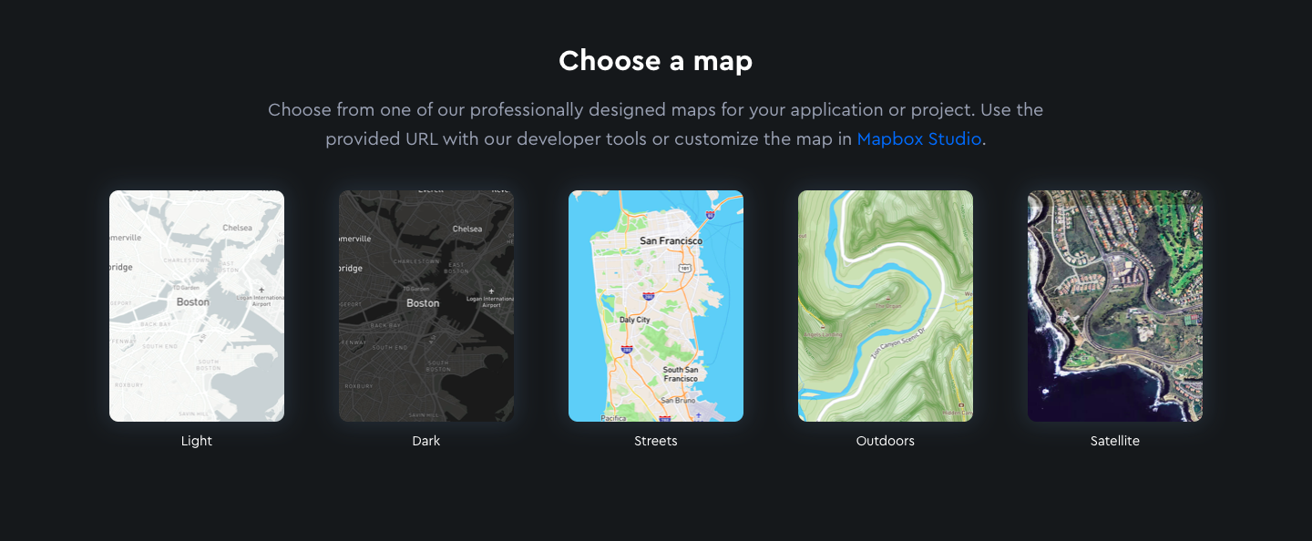
When you select the one you want, the application takes you to the Mapbox Studio. This visual interface allows you to control every detail, including uploading files and data to create the custom map you want.
It has walkthrough functions and allows you to zoom in on specific points on the maps.

In addition, it allows you to share the result on different pages and interfaces.
You can find examples of the use of these maps here, as well as video tutorials of other functions.
4. ArcGIS Story Maps
ArcGIS StoryMaps is a web tool that helps you tell your stories through customizable maps. It is used to illustrate spatial relationships between places.
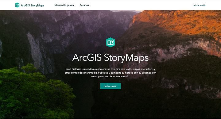
It has a map maker, easy to use, in which you can add photos, videos, texts, and pop-ups, which facilitate the creation of an interactive narrative. In addition, it has templates or maps already designed, from which you can choose to customize yours.
You must register here to use the tool. You can log in with your Gmail, Github, or Facebook account.
The final result can be published and shared from the cloud, where all your maps are stored.

In this link, you can find a tutorial to create one from scratch. Also, you can get inspired by looking at these examples from other media found in the tool’s gallery.
5. Google My Maps
You can create your own custom Google map with pins, layers, text, and photos.
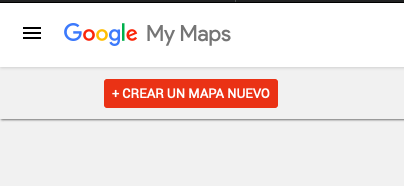
You must log in with your Gmail and search for the location you need in the search bar at the top.
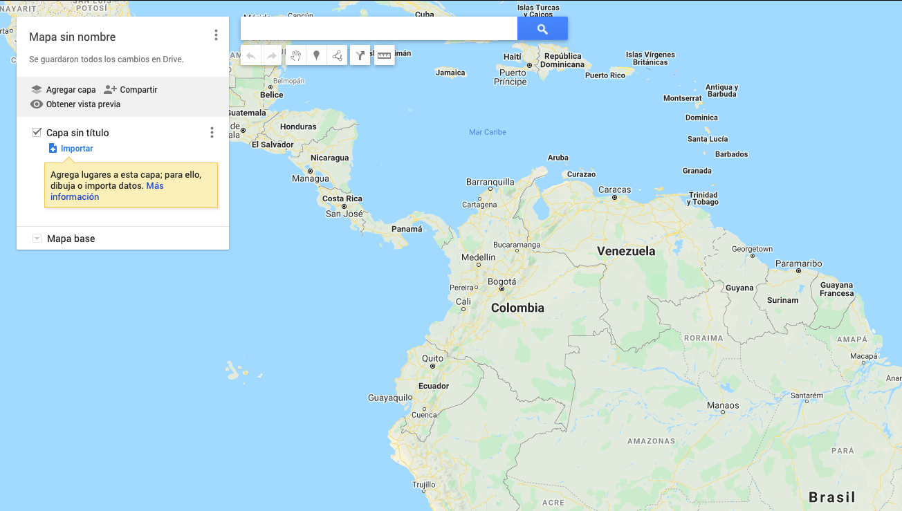
Once you find it, select “add to map.” My Maps will drop a pin and offer you multiple styling options.
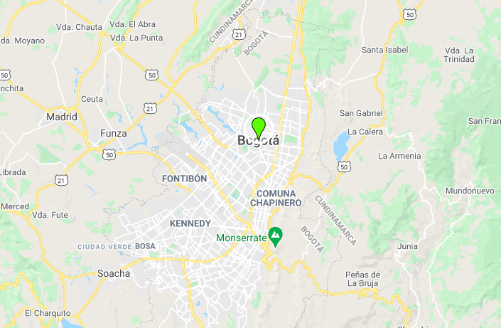
You can change the pin icon, and you can also add lines, measurements, or instructions for clarity. You can also send it to others for editing. Once finished, you can publish the map and copy the embed code to share it.
You will find more examples of this tool here.
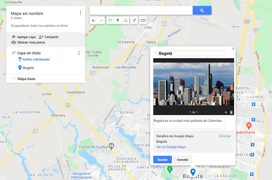
We offer you our tools to make a map and to work with other dataviz elements here.


